Civic body’s plan to ensure timely evacuation and safety of citizens in vicinity amid threats of increasing water flow

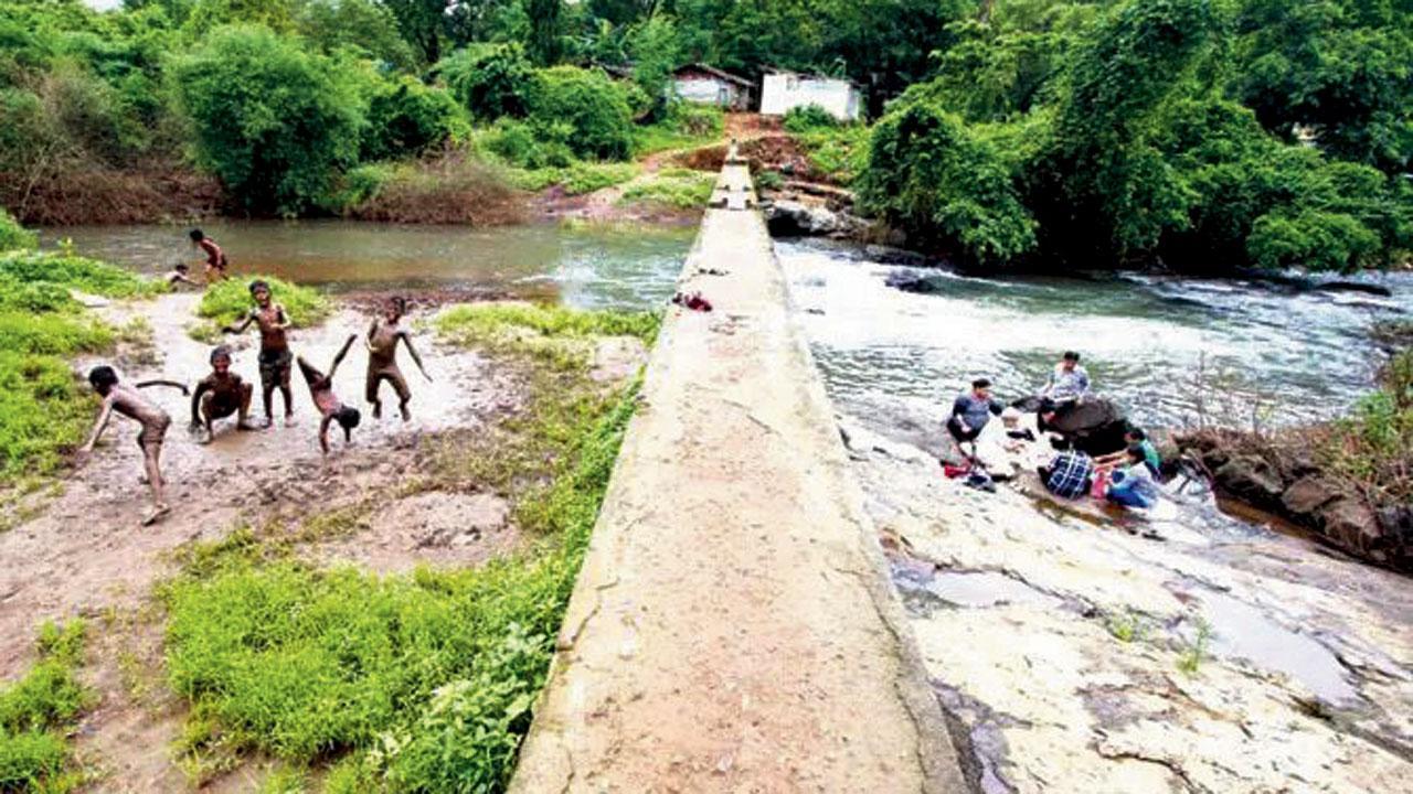
Dahisar River originates at the Tulsi Lake in the Sanjay Gandhi National Park. File pic
Key Highlights
- BMC has decided to prepare an evacuation plan for the Dahisar river
- BMC has decided to appoint an expert to prepare a plan
- Dahisar River originates at the Tulsi Lake in the Sanjay Gandhi National Park
The Brihanmumbai Municipal Corporation (BMC), has decided to prepare an evacuation plan for the Dahisar river and an analysis report on the effects of dam rupture. BMC has decided to appoint an expert to prepare a plan, which will be completed in six months.
ADVERTISEMENT
Dahisar River originates at the Tulsi Lake in the Sanjay Gandhi National Park. “This is an emergency action plan for the river. This plan is prepared according to the guidelines of the state government agency, Dam Safety Organisation (DSO),” said a BMC official.
“This study will help identify which areas could be potentially affected if there is a threat to the dam which could lead to an over flow. It will also help identify the safe places and how citizens can be evacuated there. This study and map will be submitted to all authorities concerned, like the BMC ward office, Disaster Management Department, police as well as the collector,” the official added.
As per the guidelines of the DSO, this kind of study is mandatory. Similar studies have been done for other dams in the past. Mithi River has its disaster plan. We have invited a tender for the appointment of the expert. The work will be completed in six months after the appointment,” the official said.
The Dahisar River flows a total of 12 km through the localities of the national park, Sri Krishna Nagar, Daulatnagar, Leprosy Colony, Kandar Pada, Sanjay Nagar, and Dahisar Gaothan before meeting the Arabian Sea via the Manori Creek. The total catchment area of the river is 3,488 hectares.
12 km
The area over which the Dahisar River flows
 Subscribe today by clicking the link and stay updated with the latest news!" Click here!


